
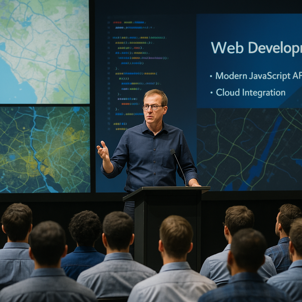
All things Web Development at the Esri Developer and Technology Summit 2026!
- Discover the latest trends in web mapping technologies and GIS integration.
- Learn how to leverage JavaScript APIs for building scalable spatial applications.
- Explore practical strategies for enhancing user experience in location-based services.
- Gain insights into cloud deployment and web application security best practices.
The Esri Developer and Technology Summit 2026 is set to be a landmark event for professionals engaged in web development with a focus on geographic information systems (GIS). This summit brings together experts, developers, and technology enthusiasts to explore cutting-edge innovations in spatial data visualization and interactive web applications. Attendees will have the opportunity to deepen their understanding of how to harness Esri’s powerful tools and APIs to create impactful digital experiences.
From workshops on the latest JavaScript frameworks for mapping to sessions on cloud scalability and application performance optimization, the summit covers a broad spectrum of topics essential for modern web developers. Whether you are building enterprise GIS solutions or consumer-facing location services, this event offers valuable insights to elevate your projects.
Continue Reading
What Is the Esri Developer and Technology Summit 2026?
The Esri Developer and Technology Summit 2026 is an annual conference designed to showcase the latest advancements in web development technologies related to geographic information systems (GIS). It provides a platform for developers, GIS professionals, and technology leaders to collaborate, learn, and share best practices. The summit emphasizes practical applications of Esri’s software development kits (SDKs), APIs, and cloud services, enabling attendees to build innovative spatial applications.
Why Should Web Developers Attend This Summit?
Attending this summit is crucial for web developers who want to stay ahead in the rapidly evolving field of location-based services. The event offers:
- Hands-on workshops on the latest JavaScript APIs and SDKs for building interactive maps.
- Insights into integrating real-time spatial data into web applications.
- Networking opportunities with industry experts and peers focused on geospatial technology.
- Access to sessions on cloud deployment strategies and application scalability.
Key Topics and Technologies Covered
The summit’s agenda is rich with content that addresses the core challenges and opportunities in web GIS development. Key topics include:
- ArcGIS JavaScript API enhancements and new capabilities for dynamic mapping.
- Best practices for spatial data visualization and user interface design.
- Utilizing cloud-native architectures to improve application performance and availability.
- Security protocols and data privacy considerations in web applications.
- Integration of machine learning and AI in spatial analytics.
How to Leverage Esri’s JavaScript API for Scalable Applications
One of the summit’s highlights is the deep dive into the ArcGIS JavaScript API. This API empowers developers to build rich, interactive maps and spatial tools that scale across devices and user bases. Key advantages include:
- Modular architecture enabling efficient code management and faster load times.
- Support for 2D and 3D visualization to enhance user engagement.
- Robust integration with other web technologies like React, Angular, and Vue.js.
- Access to a wide array of spatial services such as geocoding, routing, and spatial analysis.
Developers can implement these features to create responsive, high-performance web applications that meet modern user expectations.
Enhancing User Experience in Location-Based Web Services
Improving user experience (UX) is a critical focus at the summit. Presentations and workshops explore how to design intuitive interfaces that make spatial information accessible and actionable. Strategies include:
- Utilizing responsive design principles to ensure seamless interaction across devices.
- Incorporating real-time data updates to keep users informed.
- Applying visual storytelling techniques to convey complex spatial insights clearly.
- Optimizing map load times and interactivity to reduce user frustration.
Cloud Deployment and Security Best Practices
With increasing demand for scalable and secure web applications, the summit dedicates significant attention to cloud deployment strategies. Experts share guidance on:
- Choosing the right cloud platforms for hosting GIS services.
- Implementing secure authentication and authorization mechanisms.
- Managing data privacy and compliance in spatial applications.
- Optimizing resource allocation to balance cost and performance.
Networking and Collaboration Opportunities
The summit also facilitates collaboration through interactive sessions, hackathons, and panel discussions. Participants can connect with peers to exchange ideas, troubleshoot challenges, and explore partnership opportunities. This collaborative environment fosters innovation and accelerates professional growth in the web development and GIS communities.
How to Prepare for the Summit
To maximize the benefits of attending, developers should:
- Review the latest documentation and tutorials on Esri’s JavaScript API and SDKs.
- Identify specific projects or challenges to discuss during workshops.
- Plan to engage actively in networking events and Q&A sessions.
- Stay updated on the summit schedule and session topics.
Future Trends in Web Development and GIS
The summit also highlights emerging trends shaping the future of web development in the geospatial field, such as:
- The rise of progressive web apps (PWAs) for offline spatial data access.
- Integration of augmented reality (AR) and virtual reality (VR) for immersive mapping experiences.
- Advancements in edge computing to process spatial data closer to the source.
- Greater adoption of open standards and interoperability among GIS platforms.
Measuring ROI and Business Impact
Investing time and resources in the summit can yield significant returns by enhancing technical skills and expanding professional networks. Organizations benefit from adopting the latest web development practices to improve customer engagement, streamline operations, and unlock new revenue streams through innovative spatial applications.
Conclusion
The Esri Developer and Technology Summit 2026 is an essential event for anyone involved in web GIS development. It offers comprehensive learning, practical tools, and strategic insights to help developers create impactful, scalable, and secure web applications that leverage the power of spatial data.
Frequently Asked Questions
Call To Action
Join the Esri Developer and Technology Summit 2026 to elevate your web development skills, network with industry leaders, and discover innovative solutions for building next-generation spatial applications.
Note: Provide a strategic conclusion reinforcing long-term business impact and keyword relevance.